After a dry summer, rain is beginning to fall and recharge aquifers and waterways. In some places, like Fayetteville, N.C., the rain from the last few days has caused part of the Hope Mills Lake dam site under construction to wash away. The rain has washed out roads, stranded vehicles, flooded homes and closed schools throughout the Cape Fear region. Dozens are requiring rescue.
It’s hard to predict where rain is going to fall and how it might affect each area in a municipality, or is it?
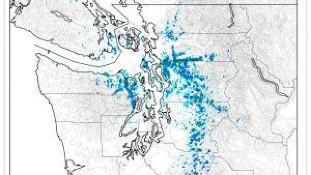
In Seattle, Wash., the return of September rain brought more in five hours on September 1st than the entire month of August. But that’s business as usual for one of the cloudiest cities in one of the cloudiest states. It makes sense that the city would pioneer the Seattle RainWatch program, an emergency-management and climatology tool that allows the city--from public works and public safety to its department of transportation--to proactively respond to flooding problems.
Storms like the one on September 1st are expected to cause streets to flood and sewers to backup and overflow. So how does RainWatch help?
RainWatch converts radar imagery data into rainfall rates and then calibrates those rates with rain-gauge data gathered from an on-the-ground network of sensors. Seattle uses RainWatch’s rainfall accumulation data to learn how much rain is falling in a specific location, and where in the city a storm is heading.
RainWatch makes the city more resilient. With this tool, the city can quickly clear a neighborhood’s drain pipes before rain hits. Or, notify the public with specific heavy rain precautions--like a construction project that could be affected, such as the one the city of Fayetteville is dealing with today.
RainWatch also part of the Seattle’s larger climate change adaptation and resiliency planning. The city incorporates climate assessments into infrastructure project design to ensure that investments meet the city’s future needs.


